Bluetooth / BLE Technology Solutions
- 3 verified partners
- 4 solution examples online
- More in our database
- 7 industries
People with Bluetooth / BLE experience in the network
Users and contacts at our partners who have used this technology in their projects. Open a profile to get in touch directly.




What Bluetooth Low Energy is used for
Short-range asset tagging and beacons
Small BLE beacons on tools, containers or equipment regularly broadcast their ID. Receivers in the hall or a smartphone detect which object is nearby, with battery life of often several years.
Locating people inside buildings
Employees wearing a BLE tag are located to room or zone level, for example for lone worker protection or evacuation. For many applications this accuracy is sufficient without investing in more expensive location technology.
The cheapest entry technology for indoor tracking
BLE tags and receivers are inexpensive, and Bluetooth is built into almost every smartphone and gateway. This makes BLE the natural entry point before moving to UWB for centimetre accuracy.
What is Bluetooth Low Energy?
Bluetooth Low Energy (BLE, also Bluetooth LE) is a low-power variant of Bluetooth, introduced with Bluetooth 4.0 and maintained by the Bluetooth SIG. BLE operates in the licence-free 2.4 GHz band and is designed to transmit small amounts of data with minimal energy. As a result, BLE devices often run for several years on a coin cell. Because almost every smartphone, tablet and many gateways support BLE, the technology is extremely widespread and inexpensive.
How BLE is used in the IIoT
In industrial settings, BLE serves two main purposes. First, location: small beacons on tools, containers, equipment or on employees' clothing regularly broadcast their ID, and fixed receivers or smartphones detect which object is in which room or zone. Second, sensing: wireless sensors for temperature, humidity, vibration or door contacts report their values via BLE to a gateway. Many industrial devices also use BLE to be configured and read out via an app.
How a BLE location system is structured
A BLE location system consists of tags or beacons on the objects, receivers (locators or gateways) on ceilings and walls, and software that calculates position from the signals. The simplest method evaluates signal strength and achieves room- or zone-level accuracy, typically within a few metres. Direction finding from Bluetooth 5.1 onwards (angle of arrival) enables much more accurate positions, at higher cost for the receivers. Standards such as iBeacon and Eddystone define how beacons broadcast their ID.
BLE or UWB?
BLE is cheaper, more power-efficient and available everywhere, but with simple signal strength measurement it only achieves an accuracy of a few metres. That is enough to know which hall, gate or storage area something is in. UWB locates to within 10 to 30 centimetres and is suitable when you need to know the exact workstation or shelf position. Many companies start with BLE and add UWB where accuracy is not sufficient. omlox combines both in one system.
What to consider when choosing
First, the required accuracy matters: zone, room or metre. Next come battery life and transmission interval of the tags, because more frequent signals mean better timeliness but shorter battery life. Metal shelving, machines and people attenuate and reflect the signal, so receiver density should be tested on site. Finally, decide whether smartphones should also act as receivers or whether fixed gateways reliably deliver the data to IT.
Solution examples
12 online · more in the databaseFunctional area
Industry
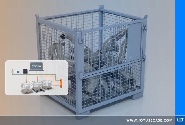




Precisely monitoring grid boxes with fill-level and weight sensing
Capture fill level and weight of mesh box pallets without any wiring: ifm sends the sensor data to moneo via Bluetooth Mesh and makes pickups plannable.
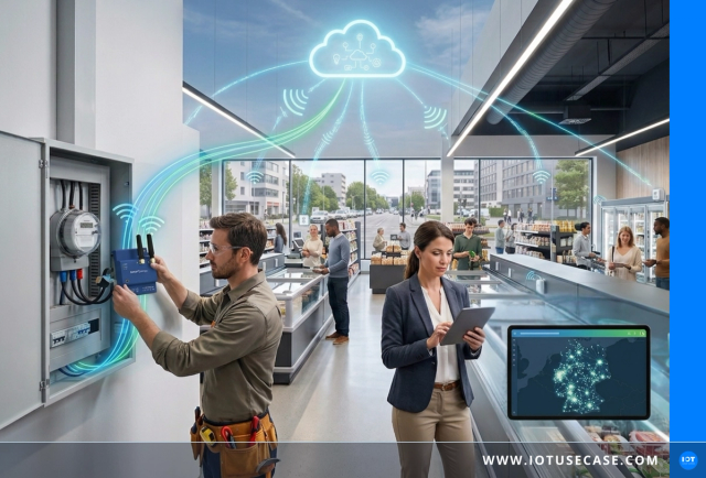



IoT energy monitoring creates cross-site transparency
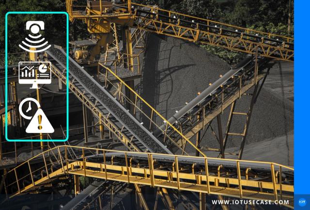



Asset management using conveyor systems as an example – scaling IoT without own platform development
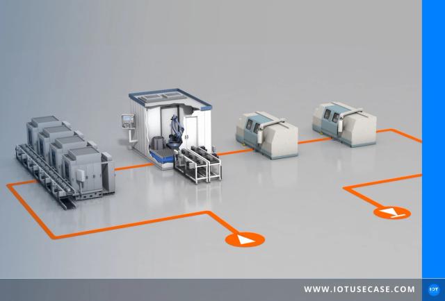
Track production orders in real time with RFID and moneo Track & Trace
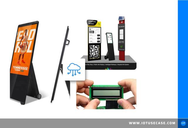





E-Paper displays: smart solutions for every environment
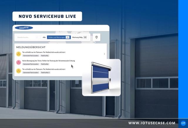




Cloud-based maintenance solutions for automated door systems
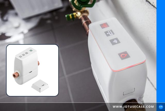



Smart protection against water damage




Optimised machine tracking with industrial IoT
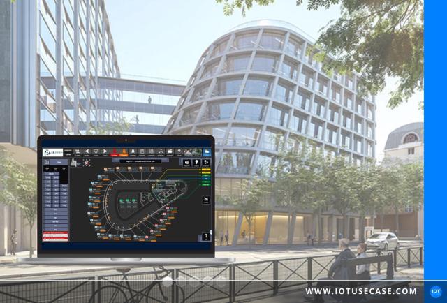


Building automation: smart control, sustainable use
User Group
Bluetooth / BLE is a topic in the Tech Round (OT/IT/IIoT decision-makers)
300+ practitioners discuss specific questions from their projects every month, including about Bluetooth / BLE. No vendors in the room, honest exchange under NDA. Personal introductory call before admission.
Join the waiting list →Use cases implemented with Bluetooth / BLE
Digital tracking of products and processes
2 solution examples →
Early Detection of Damage in Condition Monitoring
2 solution examples →
Early Detection of Damage in Predictive Maintenance
2 solution examples →
IoT-Based Energy Management System
2 solution examples →
Moisture Measurement in Condition Monitoring
2 solution examples →
Vibration Monitoring in Condition Monitoring
2 solution examples →
Vibration Monitoring in Corrective Maintenance
2 solution examples →
Audit-Reporting in Traceability
1 solution example →
Audits and Reportings
1 solution example →
Companies implementing Bluetooth / BLE
3 verifiedVendors and integrators whose Bluetooth / BLE projects you can find in our solution examples.



Podcast episodes on Bluetooth / BLE
12 episodesFrom the IoT Use Case Podcast, newest first. Each episode opens its own page with audio, summary and transcript.
- #210Product digitalization for OEMs: modular development of complex field productsML!PA Consulting GmbH · 34 min · Apr 8, 2026To the episode
- #191Predictive Maintenance with LoRaWAN: How Honeywell Makes Industrial Equipment SmartHoneywell · 28 min · Oct 29, 2025To the episode
- #176Smart Building & Workplace IoT with ICONICSICONICS · 34 min · Jul 9, 2025To the episode
- #158IIoT for smart door systems: How Novoferm and Smartsquare are digitalizing service and maintenanceNovoferm · Smartsquare GmbH · 35 min · Feb 26, 2025To the episode
- #152More Than Just Emergency Medicine – An Insight into the IoT Connectivity SolutionA1 Digital · medDV GmbH · 28 min · Jan 15, 2025To the episode
More technologies: Connectivity, wireless & positioning
All Technology Solutions →These technologies get data from where it is generated onto the network and show where things are. The right choice depends on range, data volume, power consumption and positioning accuracy.